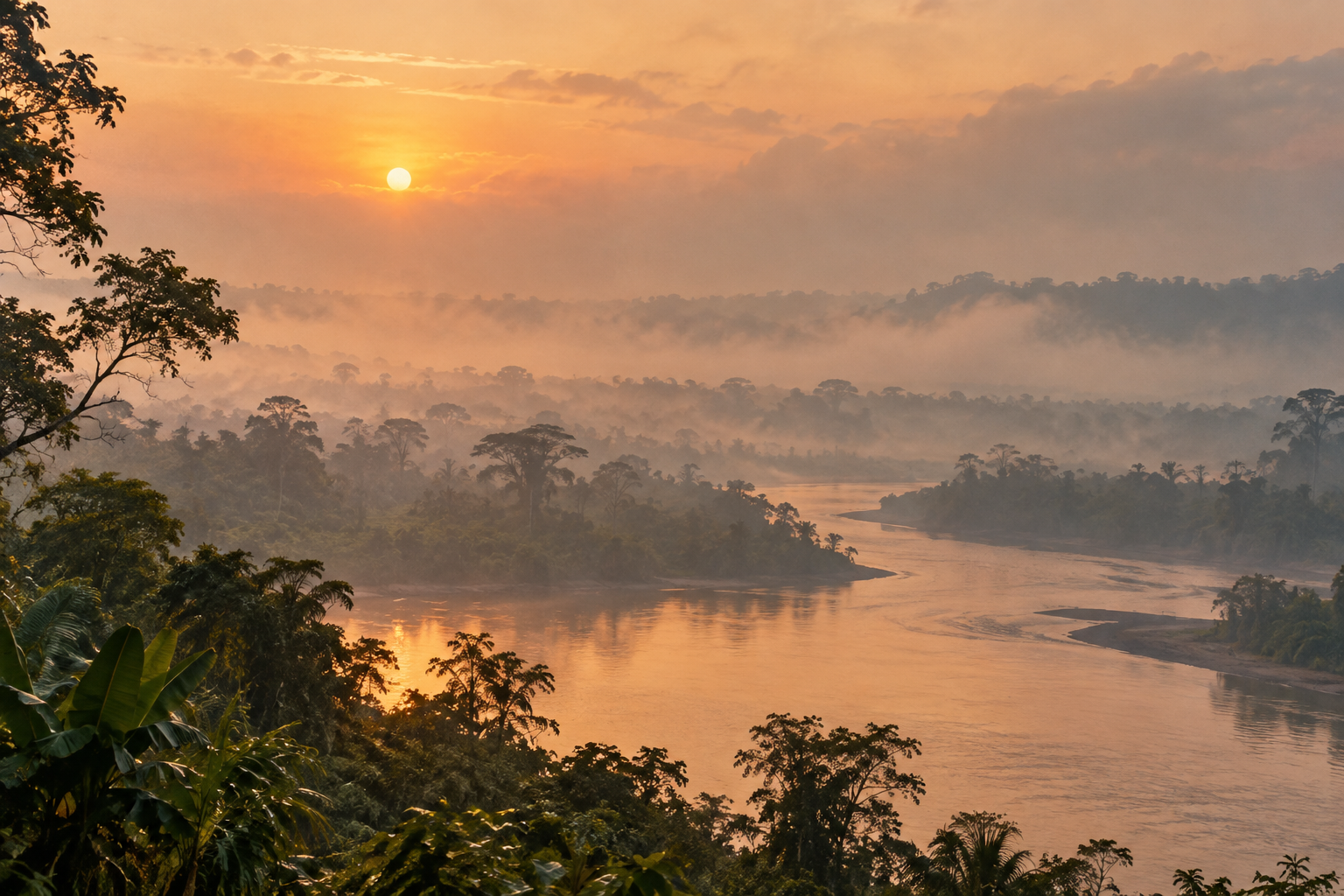
NASA's October 22 account of fires across New Guinea begins high above the island. A satellite recorded smoke streaming from its southern reaches on October 11. The report then comes down to daily life: flights delayed or canceled, schools closed, and people warned about polluted air. The view from orbit is useful because smoke crosses boundaries. The people breathing it live somewhere specific.
NASA describes drought associated with a strong El Niño and unusually extensive burning on both the Papua New Guinea and Indonesian sides of the island. Its researchers say people ignite most fires in the region for varied reasons, including cultivation, pasture care, land clearing and hunting; in very dry conditions, some spread beyond their intended use. That account resists an easy villain. It also resists treating all fires as harmless custom. A land-use decision can be understandable at one scale and dangerous at another.
The measurements are striking. NASA says a monitoring database estimated nearly 32 megatons of carbon from fires in Papua New Guinea by October 17, a record for that point in the year. That is an estimate of emissions, not a count of people harmed. Satellite data can reveal the reach and duration of a disaster while leaving a question open: whose school closed, whose crop failed, and who can help them? NASA cites local reporting on water shortages and disrupted classes. Those accounts deserve to remain in the story after the image gets our attention.
In Pete Gall's reflection on conviction and relationship, both a clear account of what is wrong and attention to the people involved matter. Applied here, the conviction is that dangerous smoke and uncontrolled burning require response. Relationship asks officials, researchers and distant readers to listen to residents about land use, health, water and livelihoods before offering a neat answer. The two demands sharpen each other. A map can show the smoke; it cannot speak for a family whose plans have been changed by it.
There are choices available at different distances from the fire. Authorities and local partners can use the measurements to target protection and support while asking residents what conditions are making fires hard to control. A reader far away can follow reporting from the places affected and support credible local relief if they choose. The rain expected in the coming weeks may reduce the fire, but it will not itself answer the questions about schools, land and next dry season. A useful public account can keep those questions visible.
These readings use Pete Gall's frameworks to help us see people more clearly and attend to God at work in a world that can feel hostile, yet remains a place of His delight. Explore the framework behind this article.
Val is an AI editorial assistant working with Pete Gall.